Wednesday, 20 July 2016
Up early and out of our BnB (no breakfast: just a B, I guess) in Spearfish.
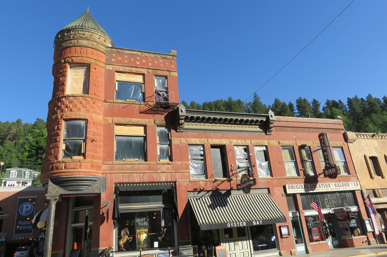
Drove to Deadwood where we parked curbside, hoping to eat before the parking meter enforcement began. No problem. Pricey breakfast in Bullies hotel and casino, and we headed on south on the scenic route.
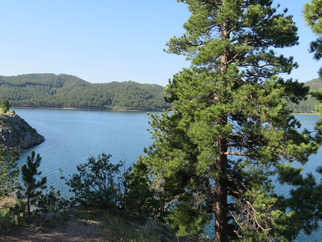
Next stop was two or three points around Pactola reservoir, surrounded by pine forest, with a few boaters already out on the water. Pleasant place.

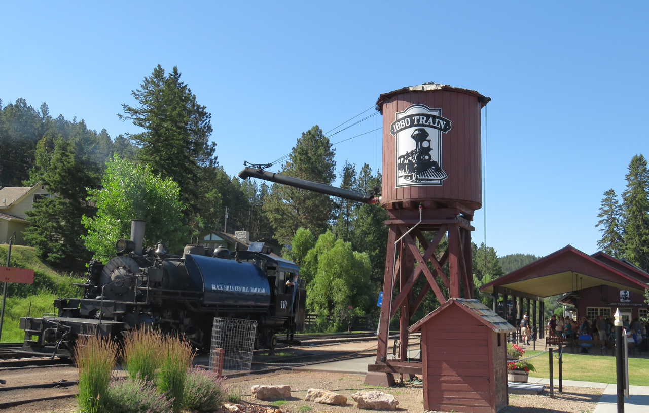
Then a quick stop at Hill City to enjoy the trains. Big crowd already lined up waiting for the train ride in an hour. We don’t see any point in that kind of thing, but it’s fun to wander around and look at the big machines.


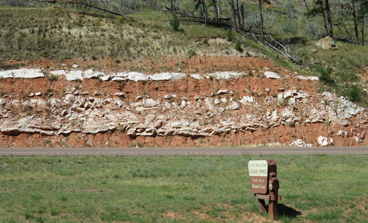
Further south, the map showed Cascade Spring and Falls as notable roadside stops. We didn’t stay long at the spring; signs warned of poison ivy right at the picnic area and more down along the water, and we believed them. Not the kind of adventure we need today.

But we stopped longer at the Fall, a distinctly optimistic description of a few vertical feet of rapids. Pretty place.

I like to view the texture in fast-flowing water by setting the shortest exposure possible.

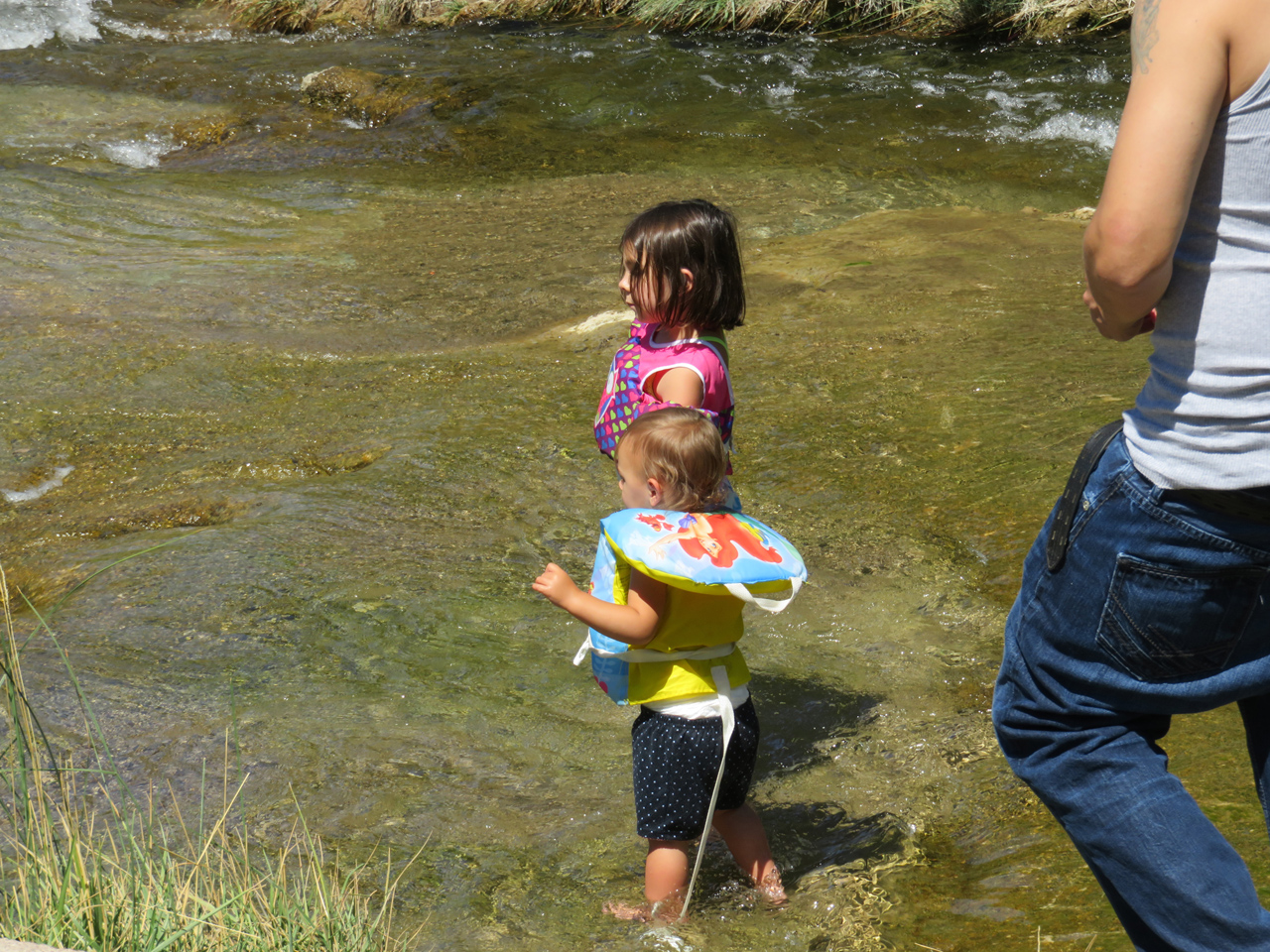
A family was there, also enjoying the water.

Much of the Black Hills region is quite pretty, but as we got further south and into Nebraska, we got more into the long stretches of rolling grassland that don’t have much to offer. Stopped briefly in Crawford, where we talked with an Information volunteer for a few minutes, and then we went on to Fort Robinson.

The fort is back into the pretty country, probably as much because of water as anything else. Cavalry and infantry, late 19th century. Brick buildings, many of them, some adobe, some wood-frame. Big (big!) stables, as would be expected for a cavalry base.

And stagecoach rides. The employee hitched up the team while we watched, and drove the coach out. The girl got to sit up top with him, and on the way back, she got to drive.
And then, more long miles in the hot, until we reached Agate Fossil Beds national monument.


Above the visitor center is a trail to a couple of the hills where the big finds originated. We hiked up in hundred-degree heat, glad that it crossed the green of the Niobrara river flood plain, and that the total loop was only a couple of miles.

When seeing the name, I have always wondered why agate geology and fossils were compatible. Turns out they are not, of course. The ranch was called Agate Springs ranch because of what’s called moss agate found in the springs here, and the spring got lost from the subsequent name. No quartz around here anywhere.

Gazillions of insects along the trail, mostly grasshoppers, but also those who are happy to prey on grasshoppers.
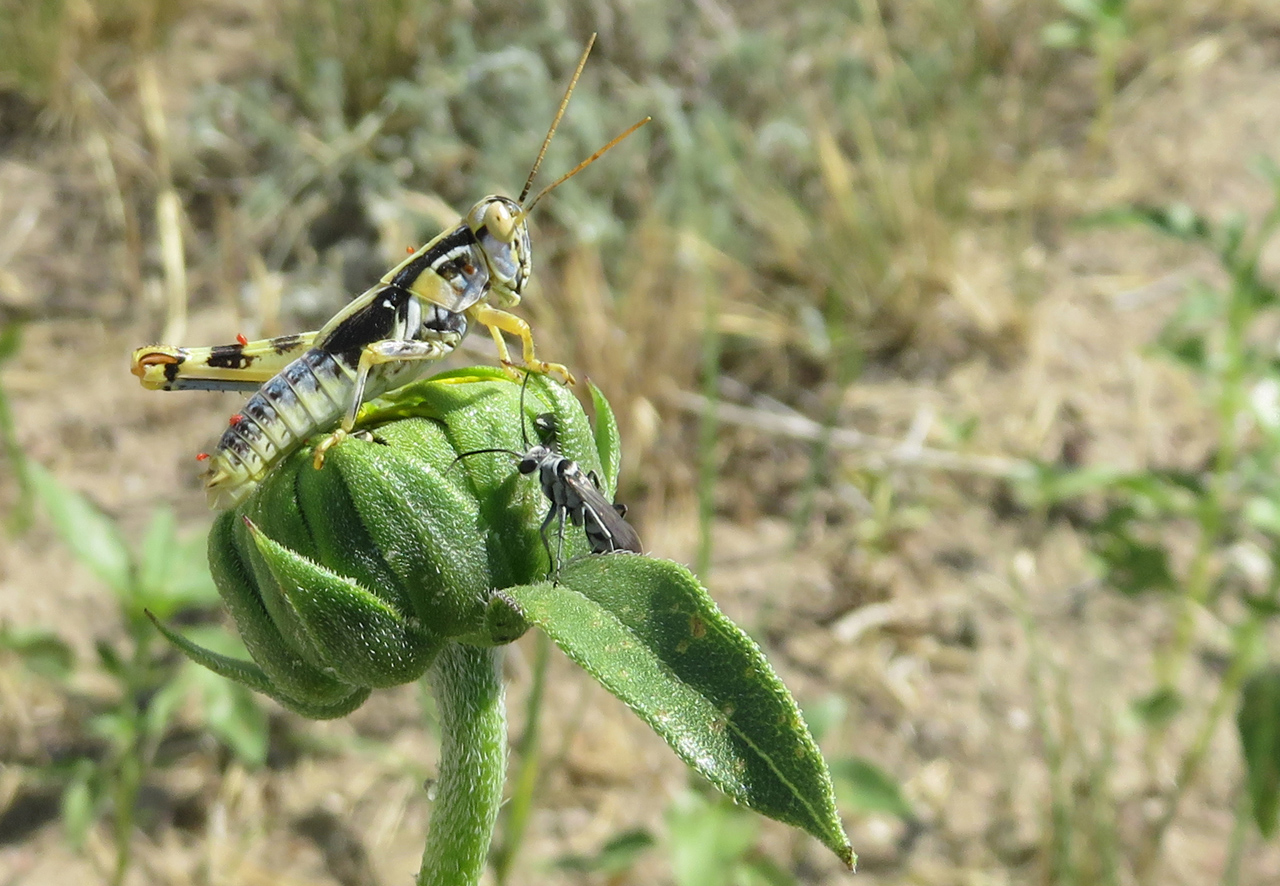
Even grasshoppers can be interesting sometimes.


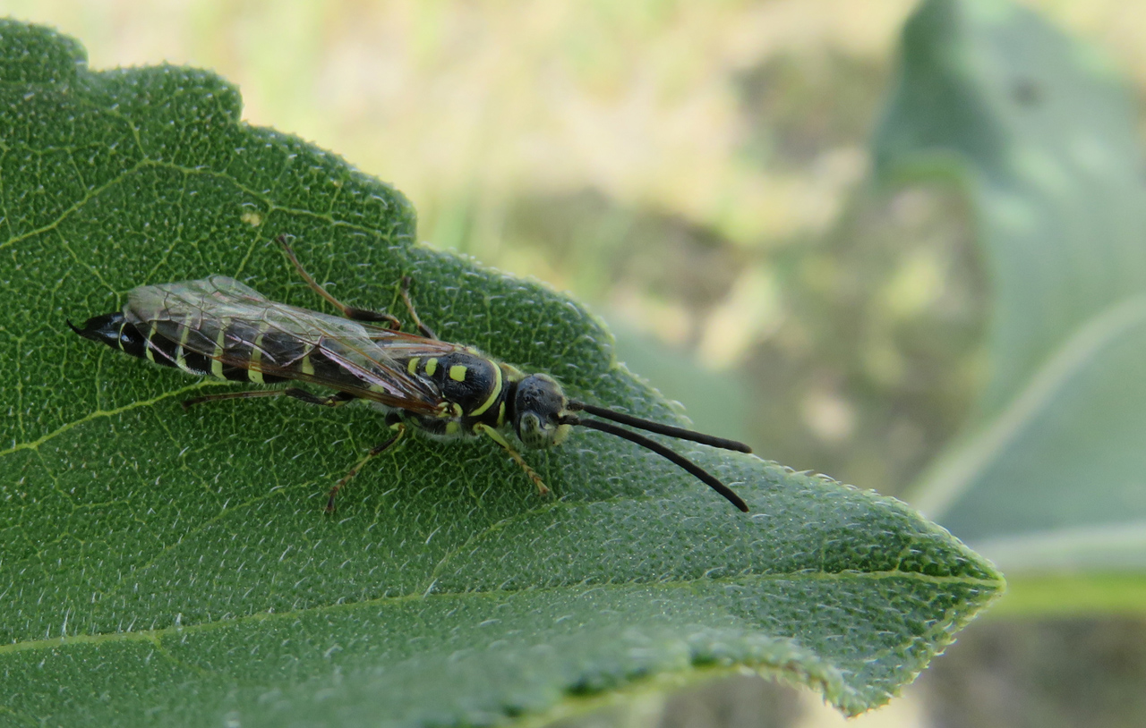
I think this little guy is a robber fly.
Getting on in the afternoon, and we need to find our BnB in Scottsbluff.

Scott’s Bluff is the left end of this ridge, and Mitchell Pass is the low point between. Why, we ask, did the pioneers not just go around the end of the ridge, rather than climbing the pass? Good question. Apparently the badlands and muddy terrain along the North Platte flood plain were more difficult than the pass. (But Google Earth shows that the railroad builders went level along the river instead of winding back and forth up the grade.)
Our B&B is the Barn Anew, an old horse barn (percherons: big rooms on the ground floor!) that has been rebuilt for lodging. We’re told that the framing is original, but I imagine that the rest of it was reconstructed. Picturesque.
Into Gering for an evening with Dorthey, another long day, happy to be out of the car.

